
Mapping articles
Short reads on putting data on the map — heatmaps, regions, routes, clustering, drive-time areas and more, each shown the way GeoMaps draws it.
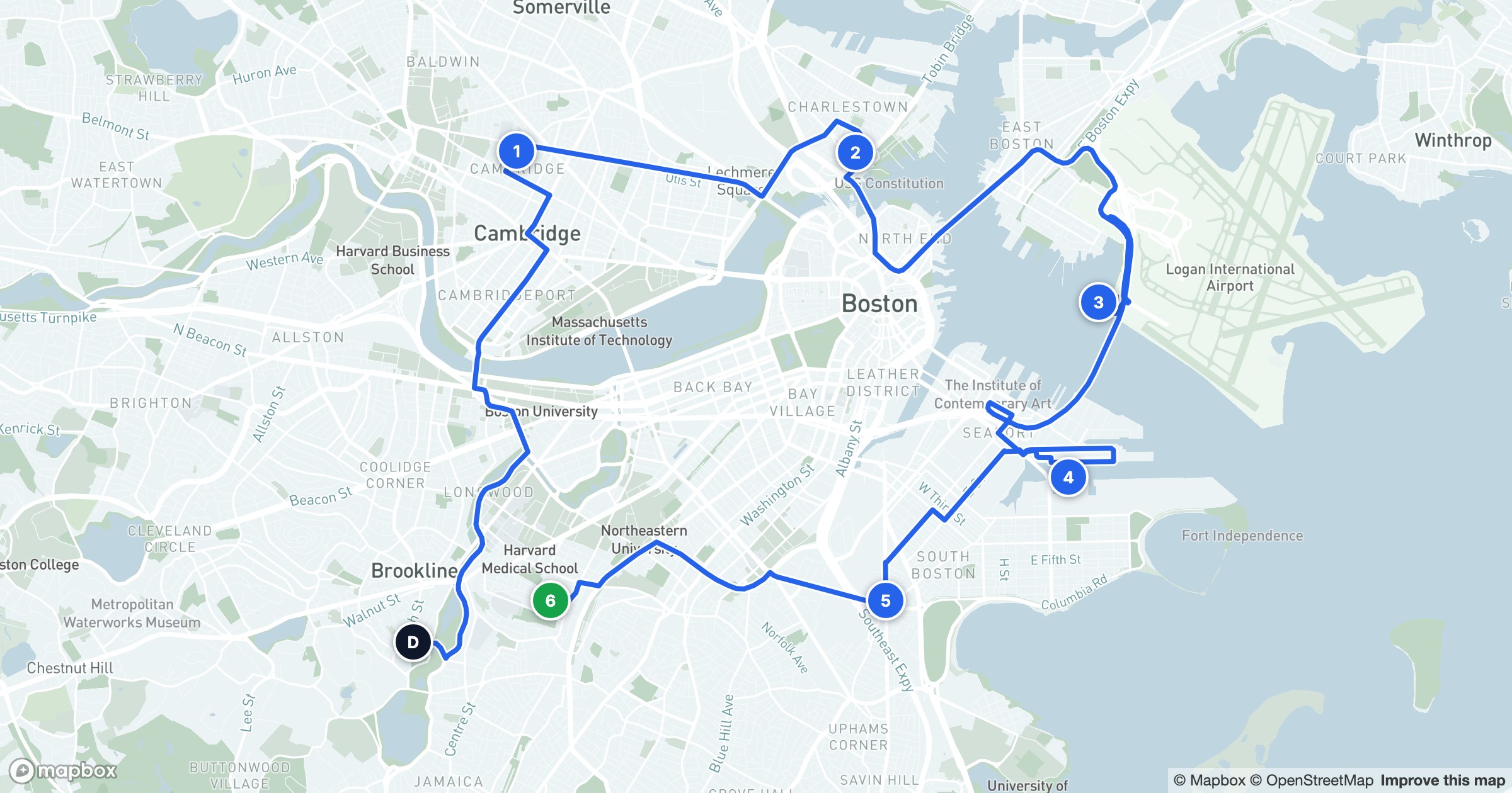
How to Plan a Multi-Stop Route on a Map
A day of visits is just a list until you map it. Here's how to plan a multi-stop route on real roads, in the right order, with real drive times.
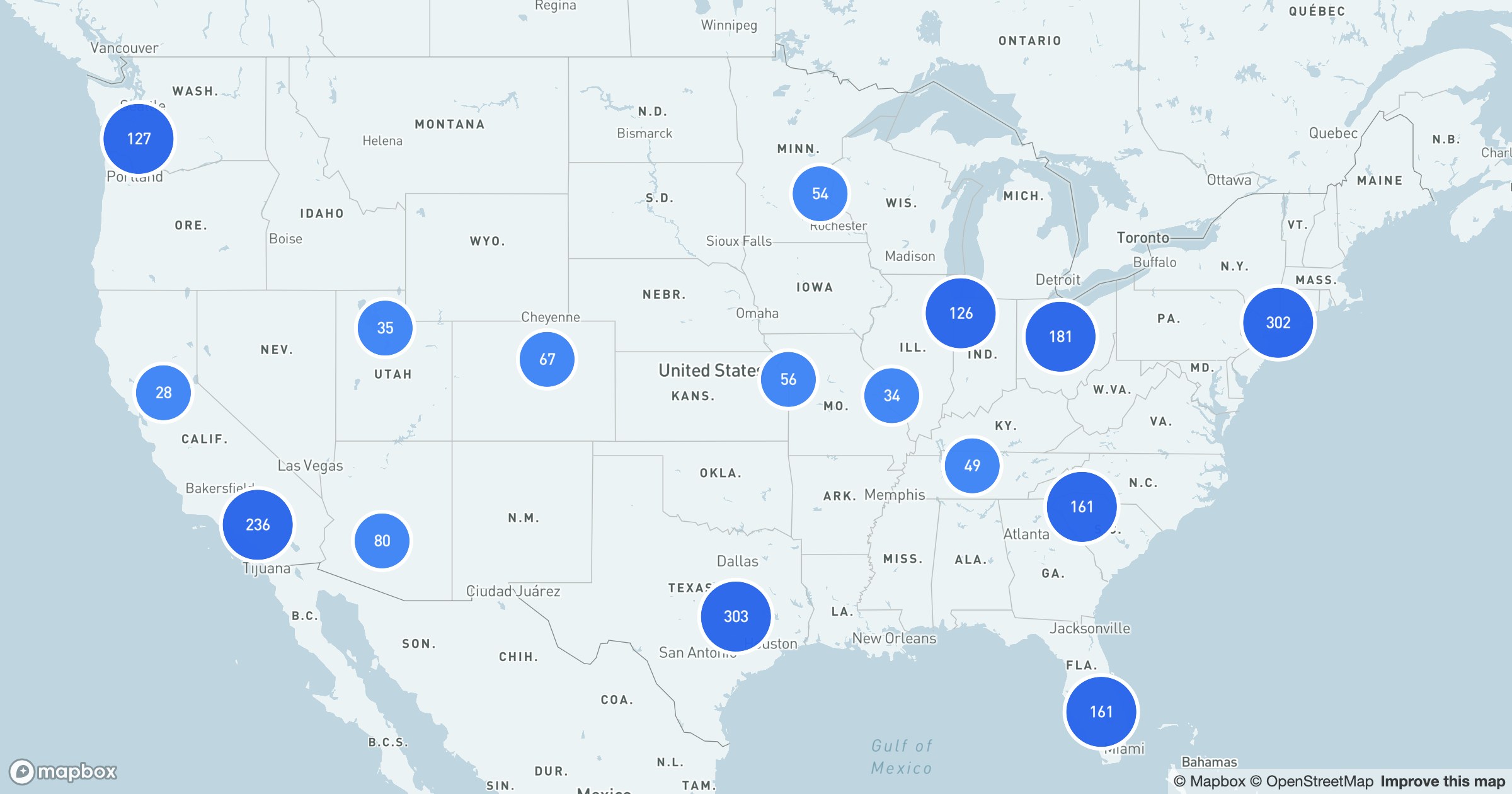
Map Clustering: Make Dense Maps Readable
Plot ten thousand records and you get a blob. Here's how map clustering rolls nearby points into counted bubbles that stay readable at every zoom.
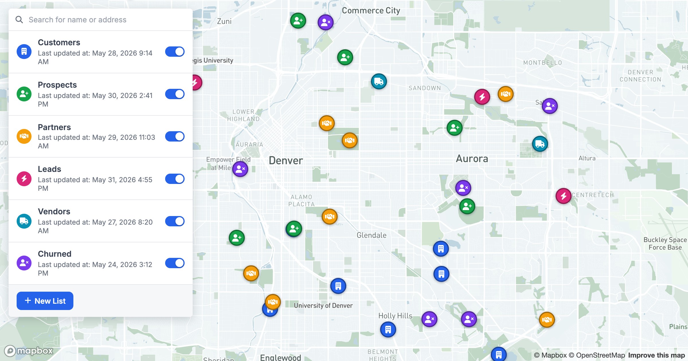
How to Color-Code Map Markers by Category
The same points, color-coded by a field, tell a new story. Here's how to style map markers by category so the groups your eye can follow appear instantly.
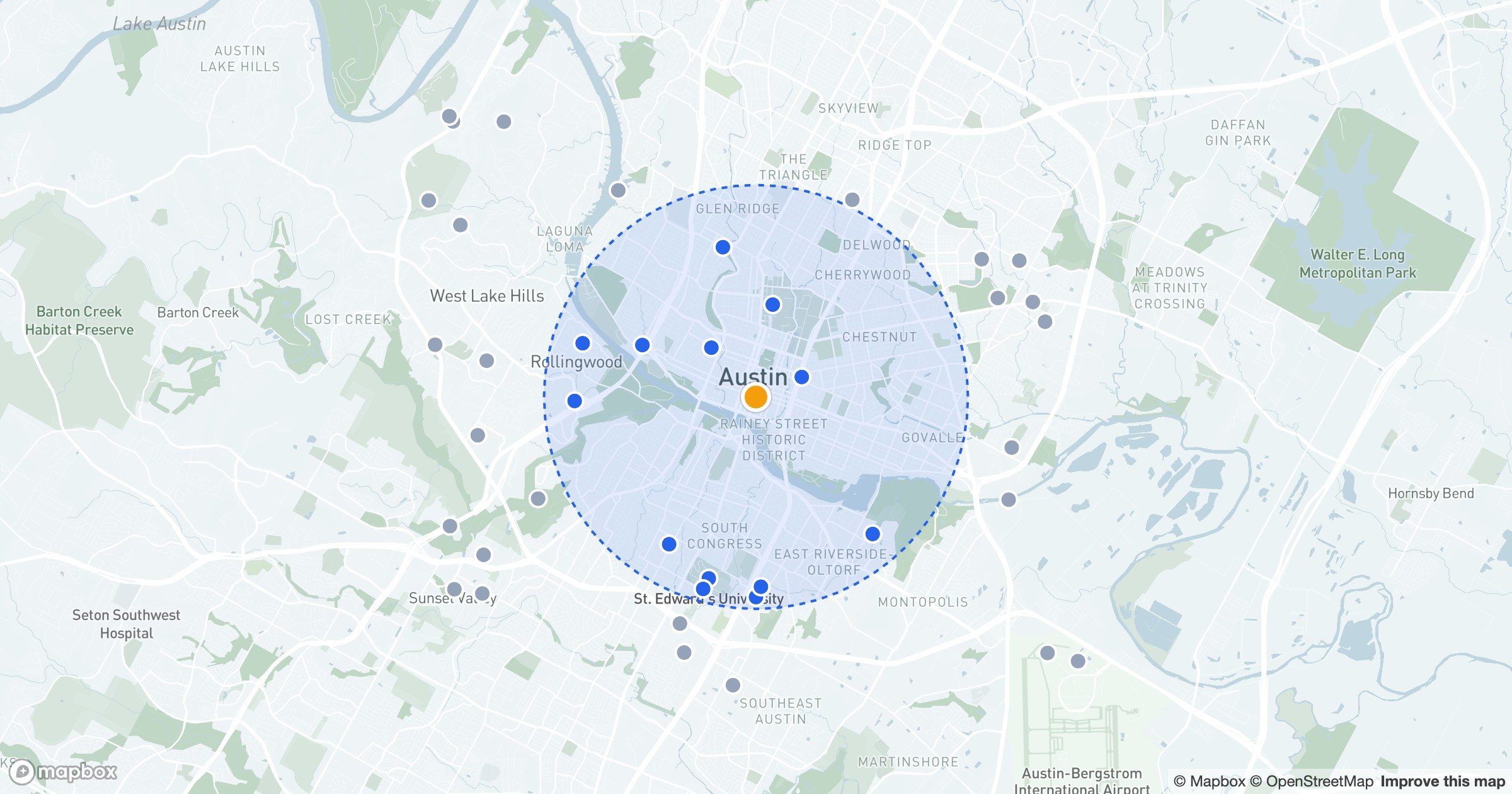
How to Find Locations Within a Radius on a Map
Drop a pin, draw a circle, and see what's nearby. Here's how to find every location within a set radius on a map — and act on the ones in range.
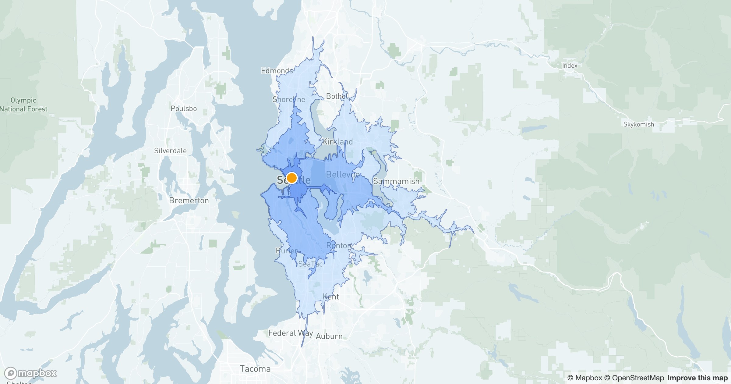
Drive-Time Maps: How Far Can You Reach by Car?
A circle measures miles; a drive-time map measures reality. Here's how isochrones show how far you can actually reach by car in 10, 20 or 30 minutes.
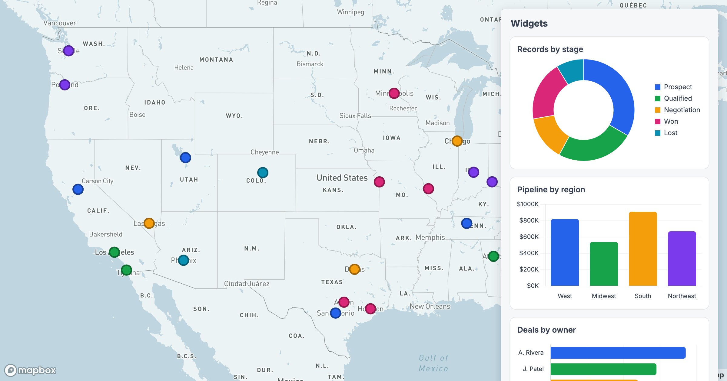
How to Build a Map Dashboard with Live Charts
A map shows where; a dashboard shows how much. Here's how to add live charts beside your map so the geography and the totals live in one view.