
Mapping articles
Short reads on putting data on the map — heatmaps, regions, routes, clustering, drive-time areas and more, each shown the way GeoMaps draws it.
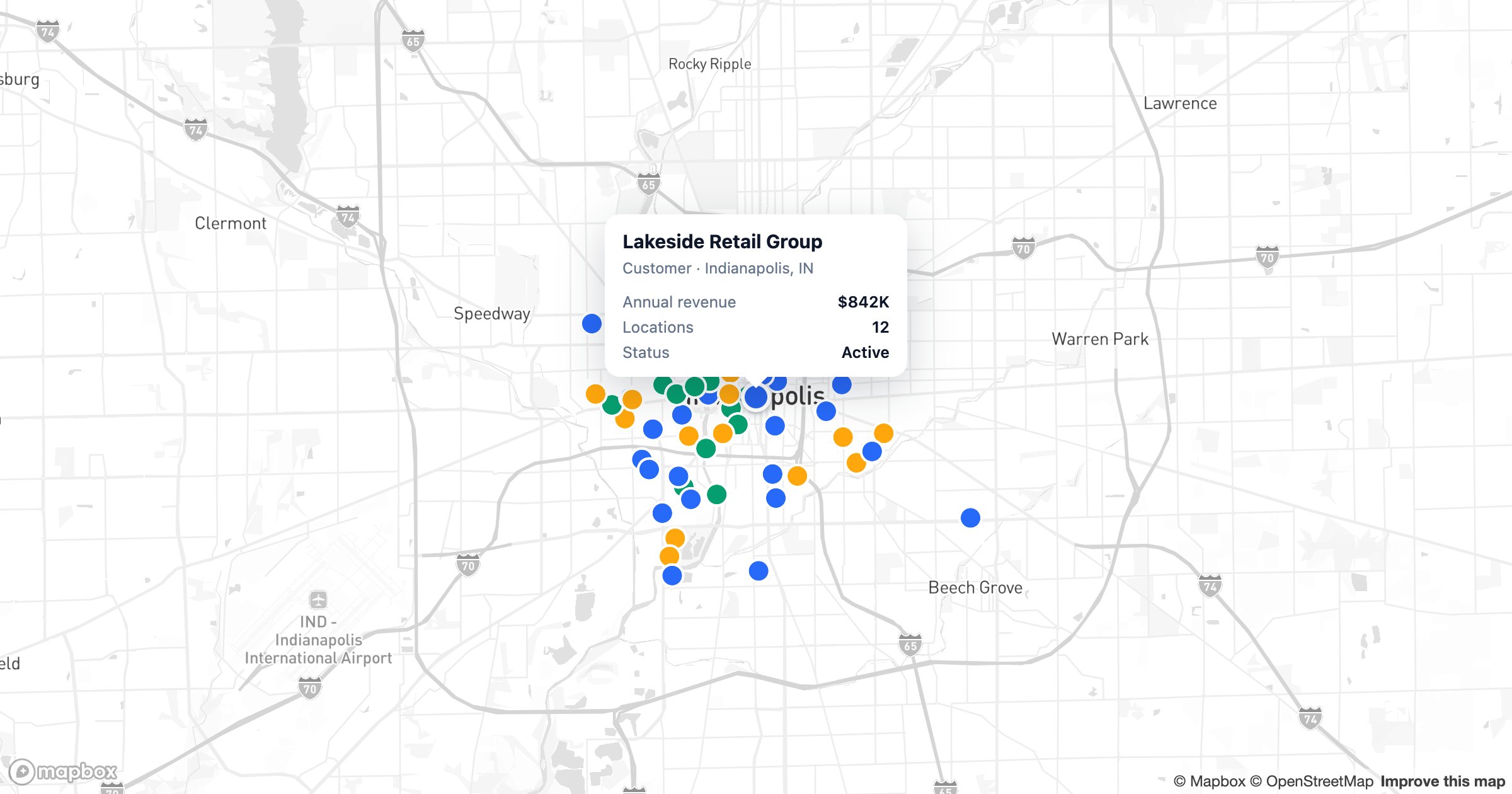
Best Mapping Software in 2026: 12 Tools Compared
From AI map builders to full GIS platforms, here are the 12 best mapping software tools of 2026 — what each is best for, and how to pick the right one.
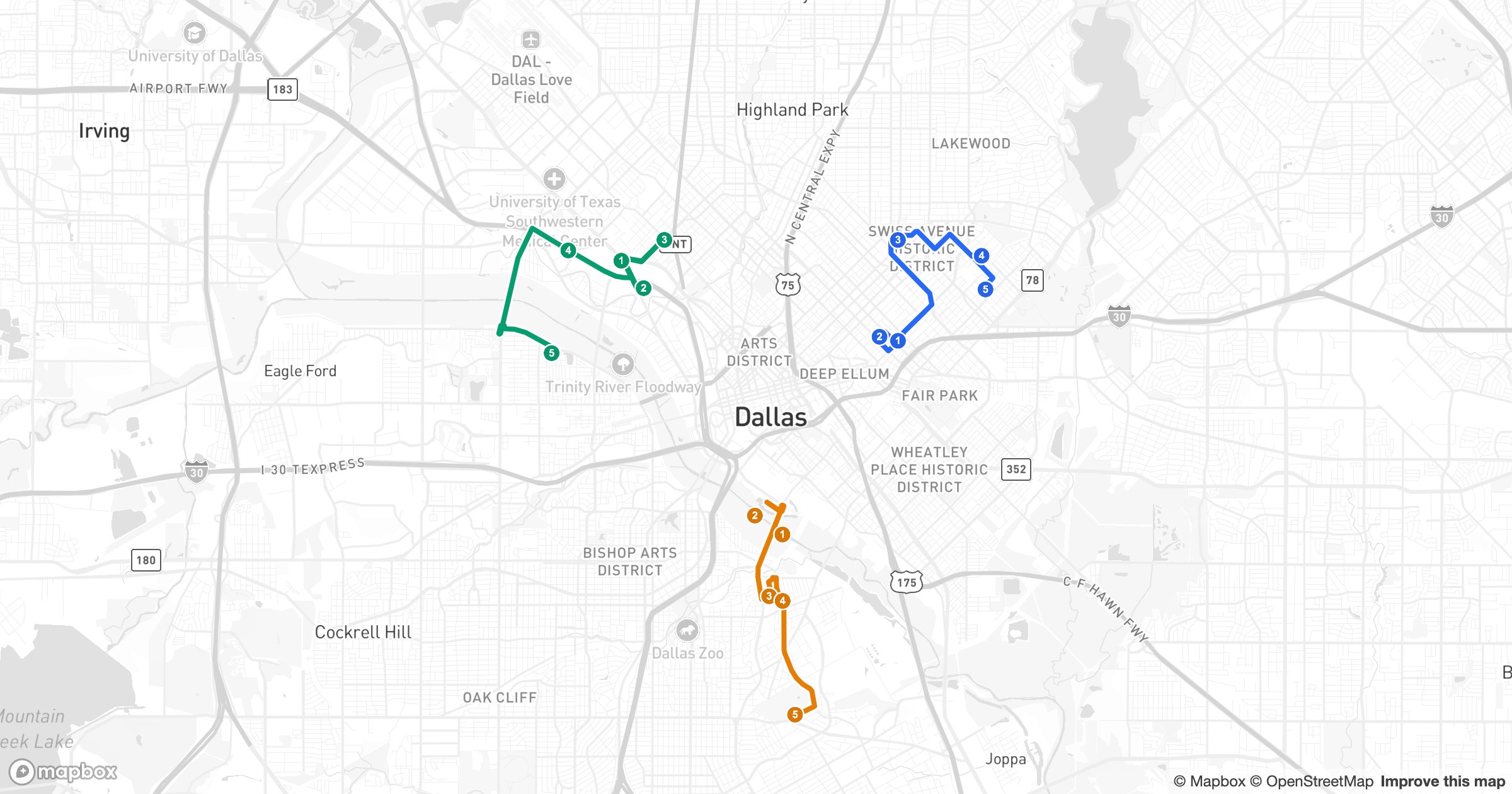
Color-Coded Routes for a Whole Sales Team
One rep's route is a line. A team's day is a map. Color-code a route per rep and the whole field operation fits into a single, legible picture.
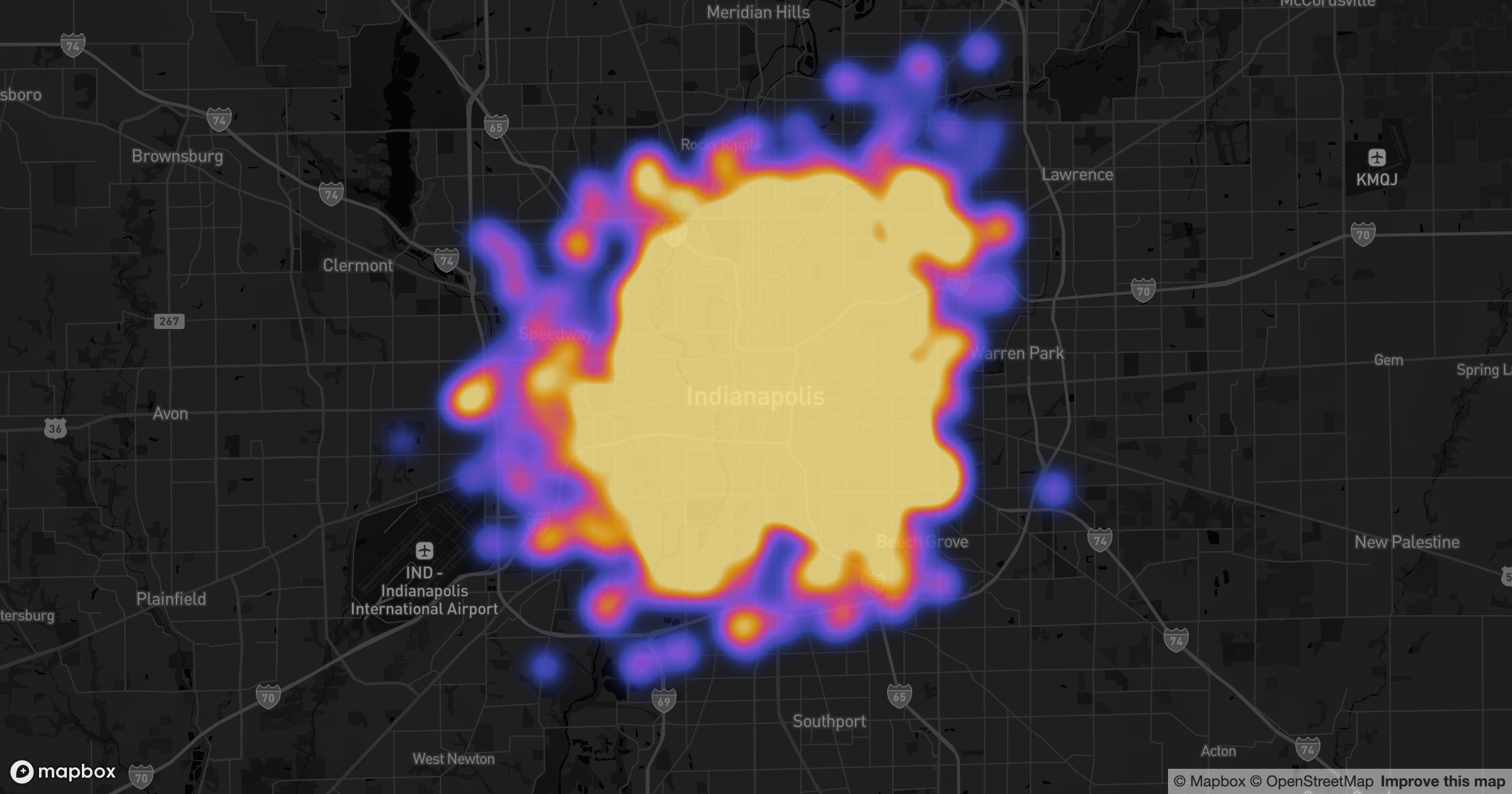
How to Build a Dark-Mode Heat Map
A heatmap glows brightest in the dark. On a dark basemap, the hot cores and cool edges of your data pop the way they never quite do on white.
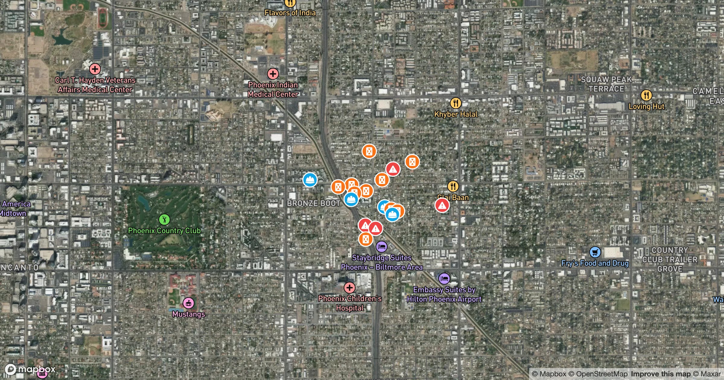
Mapping Your Sites on Satellite Imagery
Some maps make more sense over real imagery. Drop your sites onto a satellite basemap and the rooftops, lots and land come into view behind every pin.
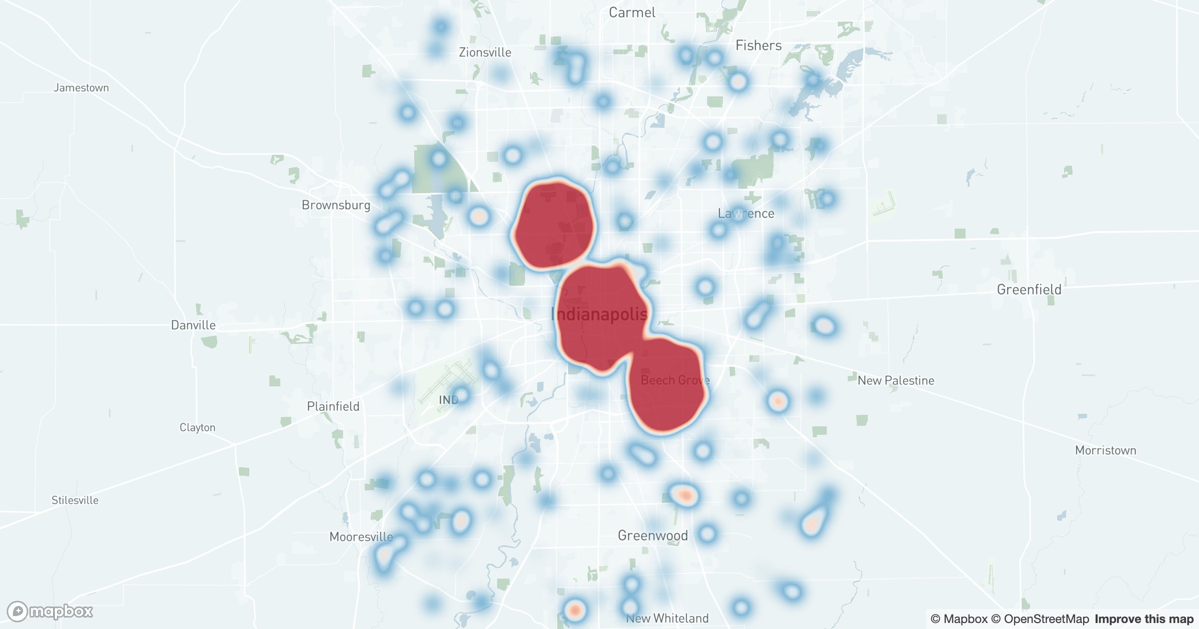
How to Make a Heat Map from Your Location Data
Thousands of map pins can hide their story. Here's how to turn location data into a heat map that reveals hotspots — and the quiet gaps — at a glance.
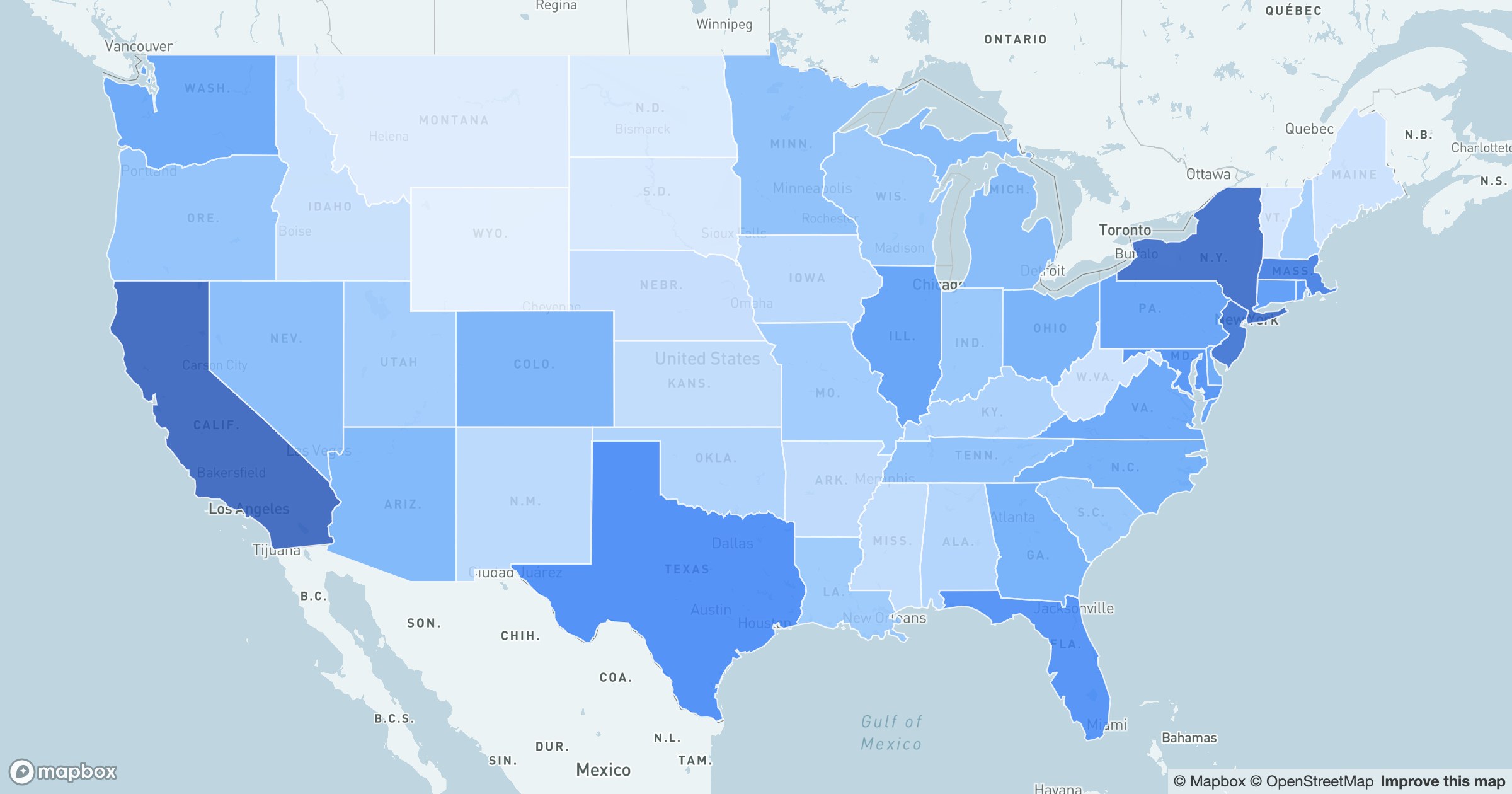
Choropleth Maps: Shade Regions by Your Data
Shade each region by a value and patterns appear that no table shows. Here's how to build a choropleth map from your own data — by state, county or ZIP.