
9 Best Google My Maps Alternatives in 2026
Google My Maps is the default first map for most people — free, simple, tied to your Google account. But its limits show up fast: a couple thousand points per layer, ten layers per map, no data sync, and little in the way of analysis or styling. When you outgrow it, here are the nine best Google My Maps alternatives of 2026.
Why people leave Google My Maps
- Point and layer caps that a real dataset blows past
- No live connection to a spreadsheet, CRM or database — every update is manual
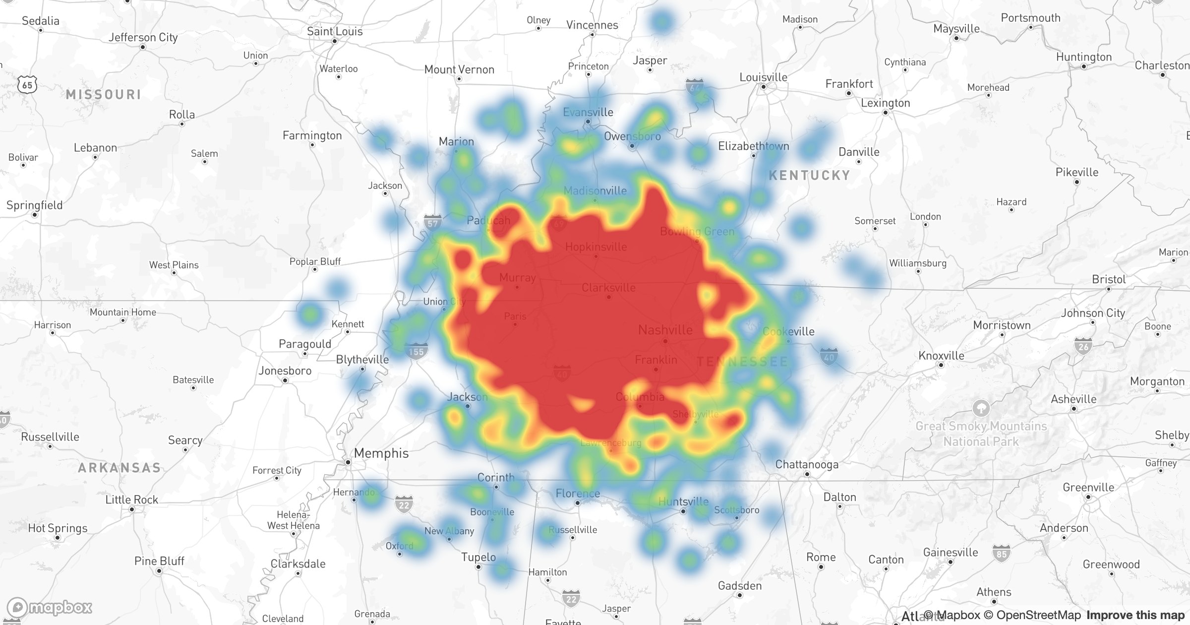
- Minimal styling: no heatmaps, clustering or data-driven colors
- No territories, routing or analysis
- Maps that look like, well, everyone else's My Maps
1. GeoMaps — the most complete upgrade
GeoMaps is the closest thing to "Google My Maps, but without the ceiling." It keeps the simplicity — drop pins, draw shapes, share a link — and adds everything My Maps lacks.
- Import from Excel, Google Sheets, a CRM or a database, with live sync
- Tens of thousands of points with clustering and search
- Heatmaps, region shading, custom markers and filters
- Territories, radius and drive-time areas, and route planning
- Public, embeddable and password-protected maps
- Free plan up to 1,000 locations
Best for anyone who started in My Maps and now needs scale, data sync or a more professional look.
2. BatchGeo — quick public maps from a spreadsheet
Paste a spreadsheet and get a shareable public map in seconds. Best for one-off maps; updating means re-pasting and there's no live data connection. See GeoMaps vs BatchGeo.
3. Maptive — spreadsheet mapping with territories and routes
A step up in analysis from My Maps, with territory and route tools on uploaded spreadsheets. See GeoMaps vs Maptive.
4. Felt — beautiful collaborative maps
A modern canvas for drawing and annotating maps together — great when collaboration and looks matter more than data sync. See GeoMaps vs Felt.
5. Mapme — story-style place maps
Mapme builds attractive, content-rich place maps and directories with categories and media — a fit for community, destination and guide maps. See GeoMaps vs Mapme.
6. ZeeMaps — simple shared and crowd maps
ZeeMaps offers straightforward shared maps with markers, categories and basic filtering — a close, no-frills My Maps substitute. See GeoMaps vs ZeeMaps.
7. Scribble Maps — drawing and annotation
A drawing-first map maker for shapes, markups and quick sketches when you mainly need to draw on a map. See GeoMaps vs Scribble Maps.
8. maps.co — lightweight maps and geocoding
maps.co covers quick maps and geocoding for simple, developer-friendly needs. See GeoMaps vs maps.co.
9. CARTO — when you need real analysis
If you've outgrown My Maps because you need spatial analytics, CARTO is the data-team end of the spectrum — powerful, SQL-driven, enterprise-priced. See GeoMaps vs CARTO.
Which alternative is right for you
- Outgrew the point/layer limits or need data sync → GeoMaps
- Just want a fast public map from a sheet → BatchGeo
- Collaborative drawing and annotation → Felt
- Heavy spatial analysis → CARTO
If the reason you're leaving is "my data won't fit" or "I have to update it by hand," GeoMaps is the most direct upgrade — same ease, none of the ceilings.