
GeoMaps vs Felt
Felt is a modern, cloud-native GIS platform known for beautiful design and real-time collaboration. Upload almost any file, get automatic geocoding, build layered maps and dashboards, share them instantly, and use Felt AI plus a Python SDK and QGIS plugin. It's a favorite for collaborative, design-forward GIS map-making.
GeoMaps overlaps on browser-based mapping and AI but is oriented to business data and operations: native CRM and database connectors with live sync, route optimization, territory management and branded customer-facing maps. Here's an objective comparison of the two.
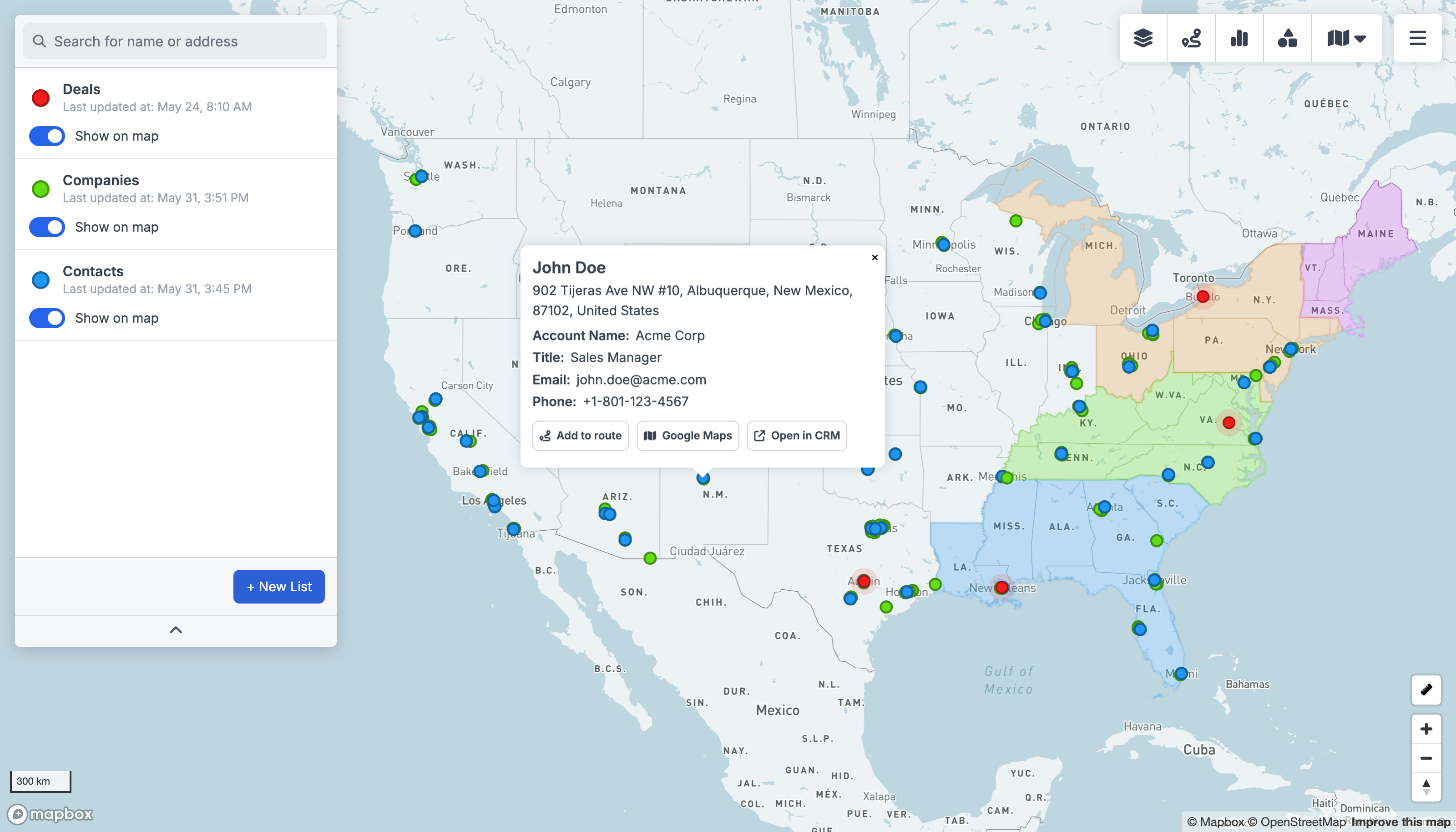
GeoMaps vs Felt, feature by feature
| Feature | GeoMaps | Felt |
|---|---|---|
| AI map generation | Felt AI | |
| Native CRM integrations | 15 CRMs | warehouses / files |
| Live data sync | ||
| Real-time collaborative editing | core strength | |
| Route planning & optimization | ||
| Territory management | ||
| Branded / customer-facing maps | embeds | |
| Free plan | 1,000 locations | free signup |
built-in · partial / on roadmap · not available. Competitor details are our objective read and can change — check their site for the latest.
Connect the tools you already use
GeoMaps syncs live from your CRM, spreadsheet or database — no manual re-imports. A few of the 20+ native connectors:
See all integrations Attio
 LeadConnector
 Close
 Copper
 Salesmate
 Google Sheets
 Excel
 Less Annoying CRM
Choose Felt if…
you want a beautifully designed, collaborative GIS for uploading, layering and sharing geospatial data — with developer tooling like a Python SDK and QGIS plugin.
- Polished, design-forward map-making with best-in-class real-time collaboration.
- Strong GIS file handling, layered analysis, dashboards and exports.
- Developer-friendly: Python SDK, QGIS plugin, REST API and a field data-collection app.
Choose GeoMaps if…
you want to map live CRM, spreadsheet or database data with routing, territories and branded customer-facing maps — not just collaborative GIS map-making.
- Native connectors to 15 CRMs (Attio, Close, Copper and more) plus spreadsheets and databases, kept in sync.
- Route planning and optimization plus packaged territory management.
- Branded, embeddable customer-facing maps like store locators and listings.
- AI map generation from your business data, free for up to 1,000 locations.
GeoMaps vs Felt FAQ
- Is GeoMaps a good Felt alternative?
- Yes — especially if you want to map business data with native CRM sync, route optimization, territory tools and branded customer-facing maps. Both generate maps with AI; GeoMaps leans more to operations than to collaborative GIS map-making.
- What does Felt do better than GeoMaps?
- Felt's design polish, real-time collaboration and GIS file handling are excellent, and it adds developer tooling like a Python SDK and QGIS plugin. For collaborative, design-forward GIS work it's a standout.
- Does GeoMaps connect to my CRM like Felt connects to a warehouse?
- GeoMaps connects natively to 15 CRMs plus spreadsheets and databases with live sync. Felt connects to cloud sources like Postgres, Snowflake and BigQuery, but isn't built around native CRM connectors.