
GeoMaps vs CARTO
CARTO is a cloud-native location-intelligence platform that runs spatial analytics directly inside your data warehouse — BigQuery, Snowflake, Redshift, Databricks — using spatial SQL, 100+ analysis components and deck.gl visualization. It's built for data analysts, scientists and developers doing large-scale spatial modeling.
GeoMaps solves a different problem: turning everyday business data into interactive maps with no SQL and no warehouse. Connect a CRM, spreadsheet or database, generate a map with AI, add routing and territories, and publish it — free to start. Here's where each one fits.
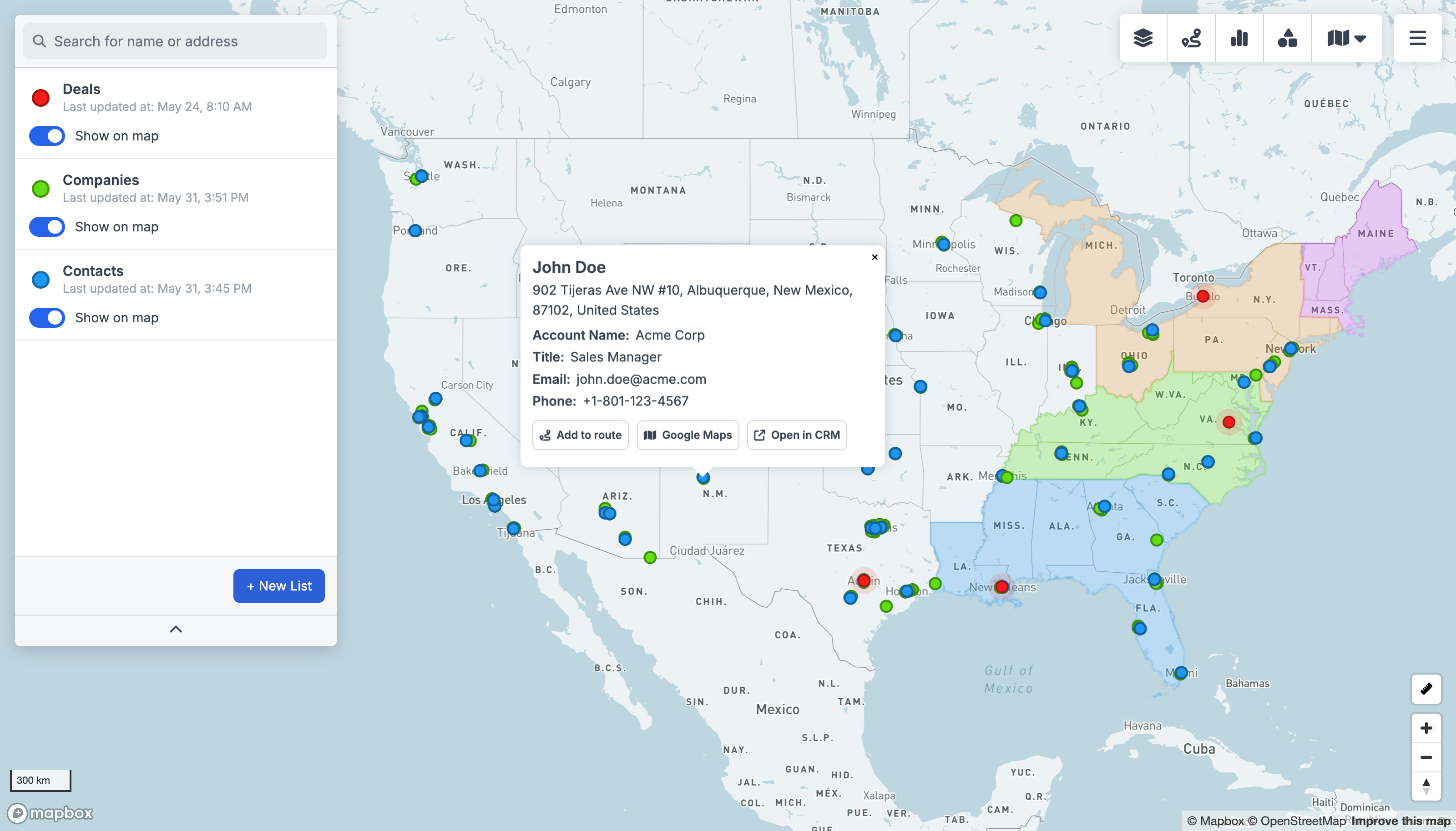
GeoMaps vs CARTO, feature by feature
| Feature | GeoMaps | CARTO |
|---|---|---|
| AI map generation | AI agents / analytics | |
| No SQL / no warehouse needed | warehouse-native | |
| Native CRM integrations | 15 CRMs | warehouse sources |
| Live data sync | from warehouse | |
| Large-scale spatial analytics | core strength | |
| Route planning & optimization | ||
| Branded / customer-facing maps | ||
| Free plan | 1,000 locations | trial only |
built-in · partial / on roadmap · not available. Competitor details are our objective read and can change — check their site for the latest.
Connect the tools you already use
GeoMaps syncs live from your CRM, spreadsheet or database — no manual re-imports. A few of the 20+ native connectors:
See all integrations Attio
 LeadConnector
 Close
 Copper
 Salesmate
 Google Sheets
 Excel
 Less Annoying CRM
Choose CARTO if…
you're a data team running large-scale spatial analytics in a cloud warehouse with spatial SQL, ML modeling and custom app development.
- Spatial SQL and 100+ analysis components running natively on your cloud data warehouse.
- Scales to billions of points with ML/AI spatial modeling for analysts and data scientists.
- Developer tooling (deck.gl, APIs) to build custom, GPU-accelerated geospatial apps.
Choose GeoMaps if…
you want a no-code way to map CRM, spreadsheet or database data — with AI, routing, territories and customer-facing publishing — without a warehouse.
- No SQL and no data warehouse required — connect a CRM or spreadsheet in a few clicks.
- Generate maps with AI, then add routing, territories and saved filtered views.
- Native connectors to 15 CRMs (Attio, Close, Copper and more) plus spreadsheets and databases, with live sync.
- Branded customer-facing maps and a free plan for up to 1,000 locations.
GeoMaps vs CARTO FAQ
- Is GeoMaps a good CARTO alternative?
- Yes — if you want to map business data without spatial SQL or a data warehouse. GeoMaps connects natively to CRMs and spreadsheets, generates maps with AI, and adds routing, territories and customer-facing publishing, free to start.
- What does CARTO do better than GeoMaps?
- CARTO is a serious spatial-analytics platform: spatial SQL on your warehouse, 100+ analysis components, ML modeling at the scale of billions of points and developer tooling like deck.gl. For data-science-grade geospatial analysis it's far deeper.
- Do I need a data warehouse to use GeoMaps?
- No. GeoMaps works with no warehouse and no SQL — connect a spreadsheet, database or any of 15 CRMs and it geocodes and maps your data automatically. CARTO is designed to run inside a cloud data warehouse.