
All articles
territories
Drawing Sales Territories on a Terrain Map
By GeoMaps Team · June 25, 2026 · 2 min read
Not every territory is a tidy rectangle. Where mountains, valleys and rivers decide who can reach what, the terrain itself is part of the plan — and a flat street map hides it.
Boundaries that match the ground
Switch to a terrain basemap and the hills and basins show through beneath your territories. Draw each zone on top and GeoMaps tags the records inside it automatically, so coverage lines up with the land instead of fighting it.
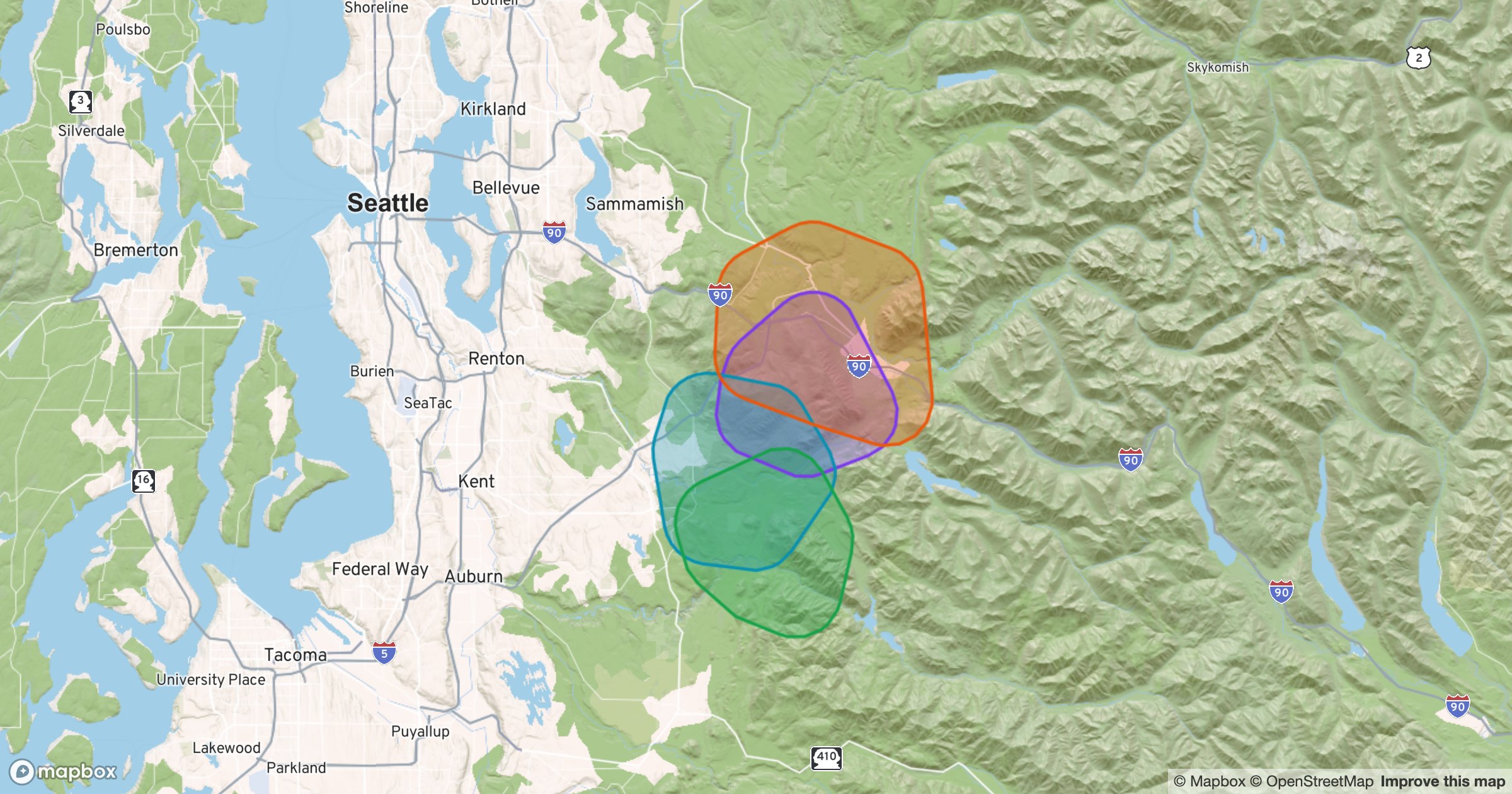
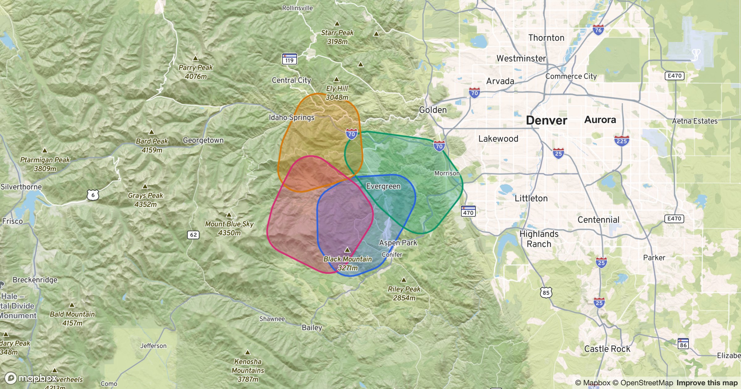
Here, four territories carve up the Colorado Front Range, each a different color, each respecting the ridgelines a rep actually has to drive around. The second view shows the same approach across the Pacific Northwest.
Learn more
Explore Draw Layers