
Best Mapping Software in 2026: 12 Tools Compared
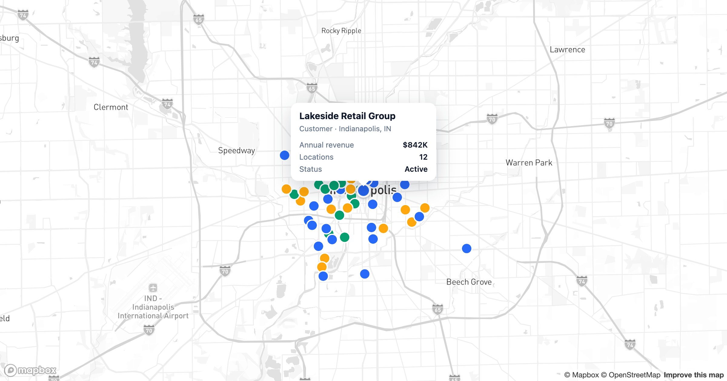
"Mapping software" spans everything from a quick pin-drop tool to a full GIS platform — which is exactly why choosing one is so confusing. The right pick depends on what you're mapping: a spreadsheet of customers, a sales pipeline, delivery routes, or a research dataset. This guide ranks the 12 best mapping tools of 2026 by what they're genuinely best at, so you can match the tool to the job instead of paying for features you'll never open.
What to look for in mapping software
- How easily your data gets onto the map — spreadsheet, CRM, or database
- Whether it scales from a few hundred to tens of thousands of points
- Visualization depth: heatmaps, regions, clustering, routes and territories
- Sharing: public links, website embeds, and team access
- Pricing — especially whether there's a genuinely useful free tier
1. GeoMaps — best overall for turning business data into maps
GeoMaps tops the list because it closes the gap between "I have a spreadsheet or CRM" and "I have a live, interactive map" faster than anything else. You connect a data source, describe the map you want, and it builds it.
- Connect 20+ sources — Excel, Google Sheets, HubSpot, Salesforce, Pipedrive and more — with live sync rather than one-time imports
- Describe the map in plain English and let AI build it: markers, heatmaps, regions, filters and KPI tiles
- Scales to tens of thousands of points with clustering and instant search
- Publish public, embeddable, or password-protected maps
- Free plan up to 1,000 locations
Best for sales, operations, marketing and real-estate teams who want a polished, shareable map without GIS training.
2. Maptive — polished spreadsheet mapping
Built on Google Maps, Maptive turns uploaded spreadsheets into maps with solid territory and routing tools. There's no AI map generation and CRM support is import-only, with a trial rather than a free plan — but it's a capable choice for spreadsheet-first teams. See GeoMaps vs Maptive.
3. BatchGeo — fastest paste-and-map
Paste a spreadsheet and BatchGeo returns a map in seconds — ideal for a quick public map. The trade-off: updates mean re-pasting, there's no CRM sync, and analysis is limited. See GeoMaps vs BatchGeo.
4. eSpatial — enterprise territory and route mapping
eSpatial is built for larger organizations, with mature territory management and heat-mapping. Setup is onboarding-led and pricing is quote-based, so it suits enterprise buyers more than self-serve teams. See GeoMaps vs eSpatial.
5. Mapline — operations and logistics mapping
Mapline handles bulk location mapping, territories and routing for operations teams. It's capable, though the interface feels dated and access is trial-based. See GeoMaps vs Mapline.
6. CARTO — cloud GIS for data teams
CARTO runs spatial analytics directly on cloud data warehouses. It's powerful for analysts who write SQL, with enterprise pricing to match — overkill if you just want to map a customer list. See GeoMaps vs CARTO.
7. Felt — collaborative map canvas
Felt is a modern, good-looking canvas for drawing and annotating maps together. It shines for collaboration but is lighter on live business-data sync and heavy analysis. See GeoMaps vs Felt.
8. ArcGIS — the professional GIS standard
Esri's ArcGIS is the gold standard for true geospatial work, with unmatched analytical depth. That power comes with a steep learning curve and cost that's hard to justify for everyday business mapping. See GeoMaps vs ArcGIS.
9. Maptitude — desktop GIS for analysts
Maptitude is an affordable desktop GIS with strong demographic data. It's desktop-first, so it's less suited to sharing live web maps with a team. See GeoMaps vs Maptitude.
10. Google My Maps — free and simple
Free and tied to your Google account, My Maps is perfect for a handful of pins. It hits limits quickly on point counts, layers and data sync. See GeoMaps vs Google My Maps or our Google My Maps alternatives guide.
11. Atlas.co — all-in-one mapping and GIS
A newer entrant blending GIS analysis with everyday data mapping, with a quickly growing feature set worth watching. See GeoMaps vs Atlas.co.
12. Scribble Maps — quick drawing and annotation
Scribble Maps is a simple, drawing-first map maker for sketches, shapes and quick markups — light on data handling and scale, but handy for fast visuals. See GeoMaps vs Scribble Maps.
How to choose the right one
- Mapping business data from a CRM or spreadsheet and want it shareable → GeoMaps
- Deep geospatial analysis or SQL workflows → ArcGIS or CARTO
- A quick, free map of a few places → Google My Maps
- Field-sales visits and routing → see our best CRM mapping tools guide
Most teams overestimate how much GIS they need and underestimate how often they'll want to share the map. If your data lives in a spreadsheet or CRM and the goal is a clear, current, shareable view, start with GeoMaps and step up to a dedicated GIS only if real spatial analysis demands it.