

What you can do with ERPNext on GeoMaps
- Plot every ERPNext record at its address
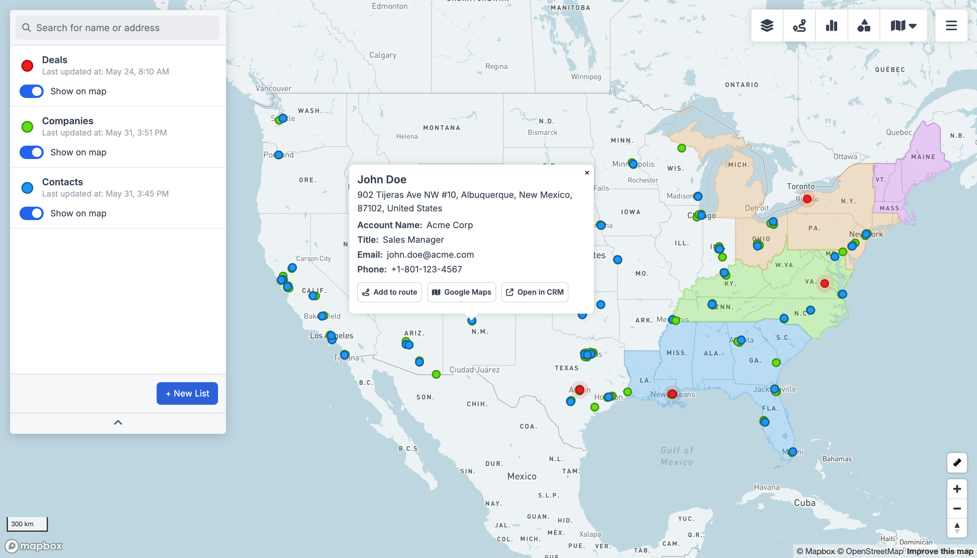
- Filter the map by any field and group by status
- Build optimized routes to your accounts
- Share live, interactive maps with your team
Connect ERPNext
Link ERPNext to n8n with your existing account.
Send records to GeoMaps
Add the GeoMaps action and push ERPNext records into a data source.
See them on the map
GeoMaps geocodes each record and plots it — filter, route and share.
Put your ERPNext data on the map
ERPNext holds the addresses your team works every day — ERP records like customers, contacts and locations. GeoMaps turns them into an interactive map you can filter, build routes from, and share.
There's no native ERPNext connector yet, but you can wire it up in minutes through n8n: enable the GeoMaps API on a CSV/Excel data source, then point a n8n action at it to push ERPNext records straight onto the map. See the REST API or connect via Zapier, Make or n8n.