
All articles
drive-time
Mapping Drive-Time Coverage (and Finding the Gaps)
By GeoMaps Team · July 9, 2026 · 2 min read
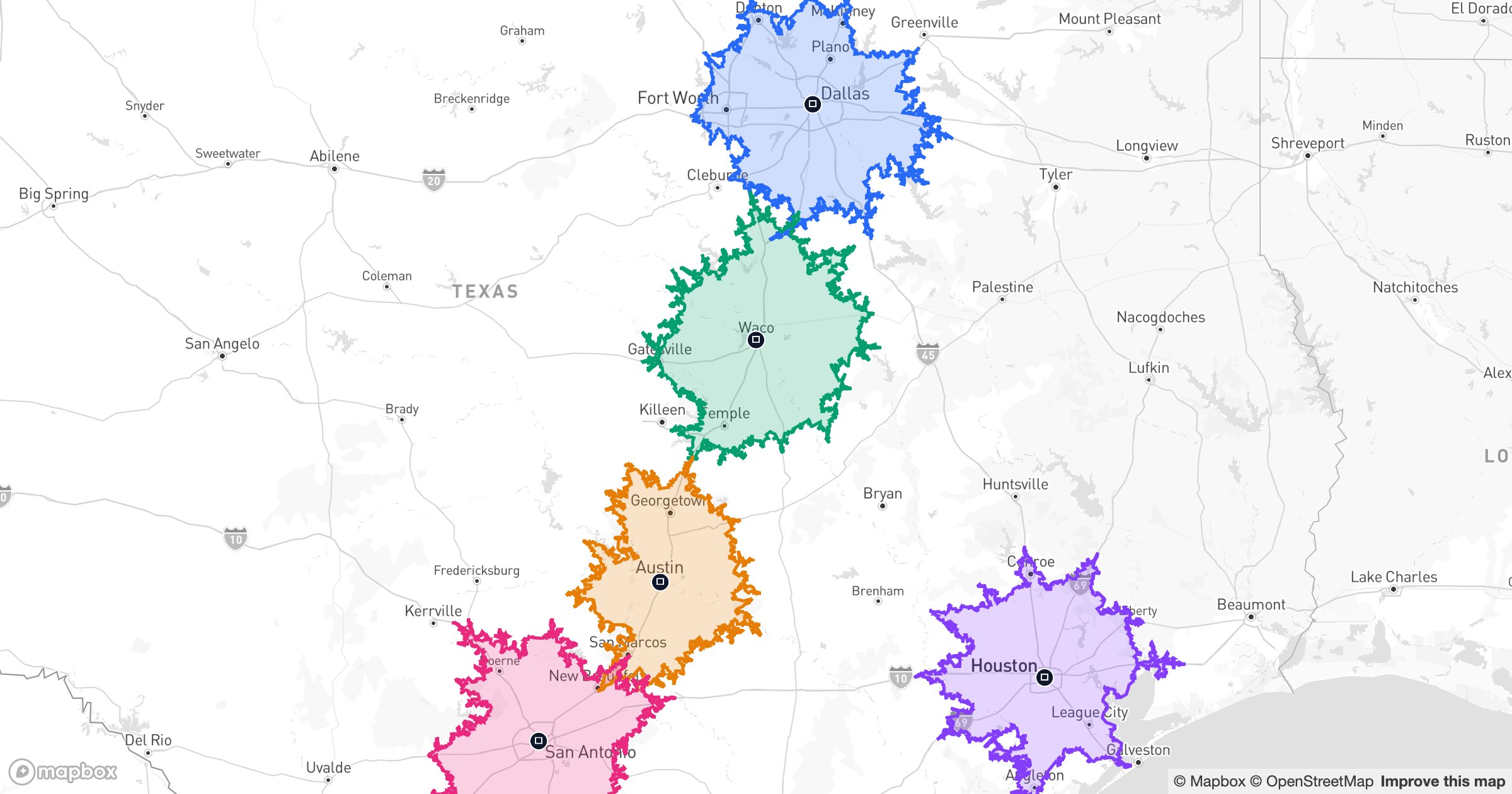
One drive-time area tells you what a single branch can reach. Several, layered together, tell you something more useful: where your whole network actually covers — and where it doesn't.
Coverage, and the holes in it
Give each depot or branch its own drive-time area and overlap them on one map. The places two areas cover are your overlap; the places none reach within the window are your gaps — the white space a new location would fill.
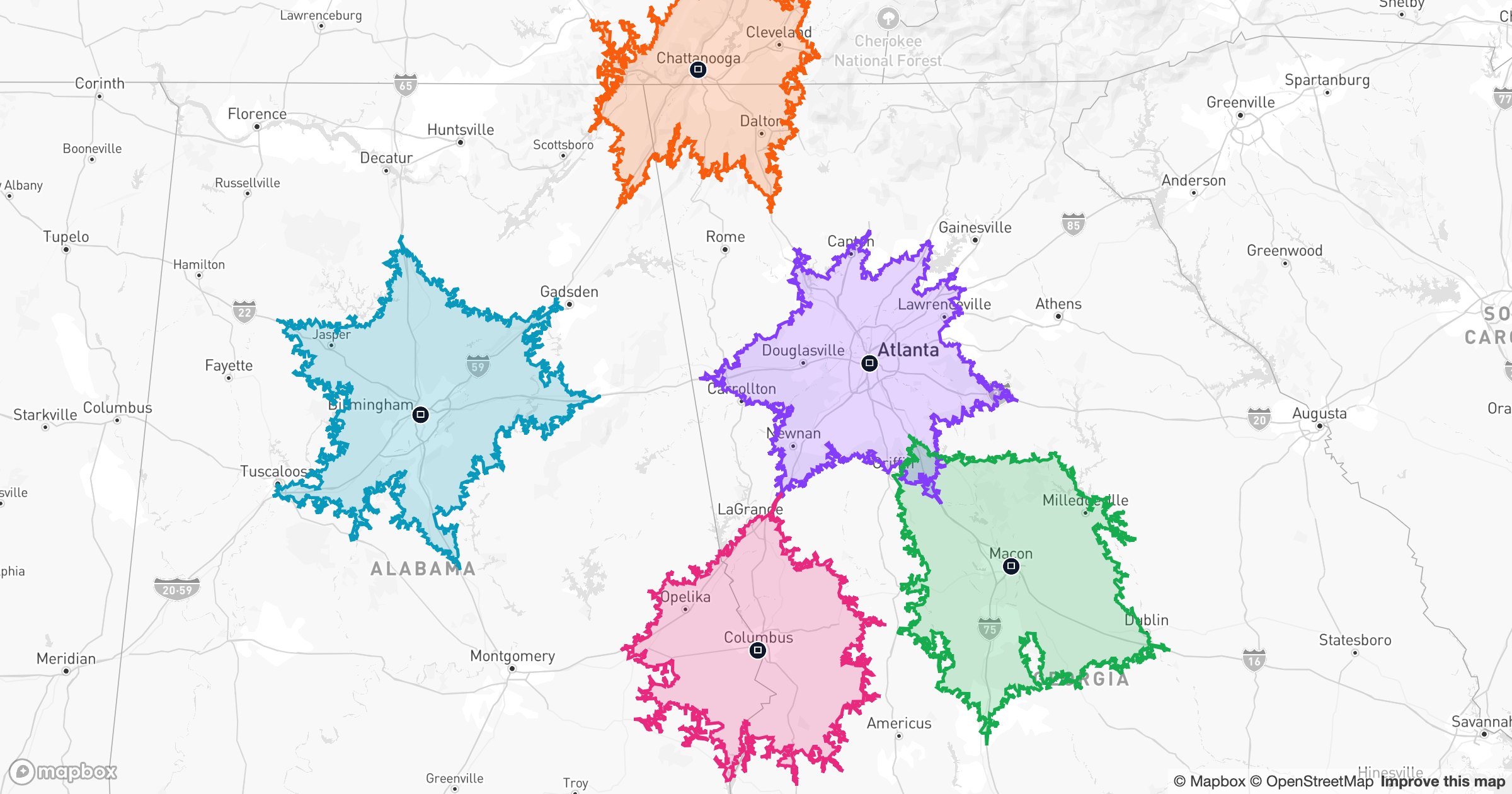
Here, four sites around Columbus, Ohio each get a 30-minute reach, drawn along real roads. Where they overlap you're well-served; where they don't, you can see exactly where to expand.
Learn more
Explore Drive Time Layers