
How to Create a Sales Territory Map
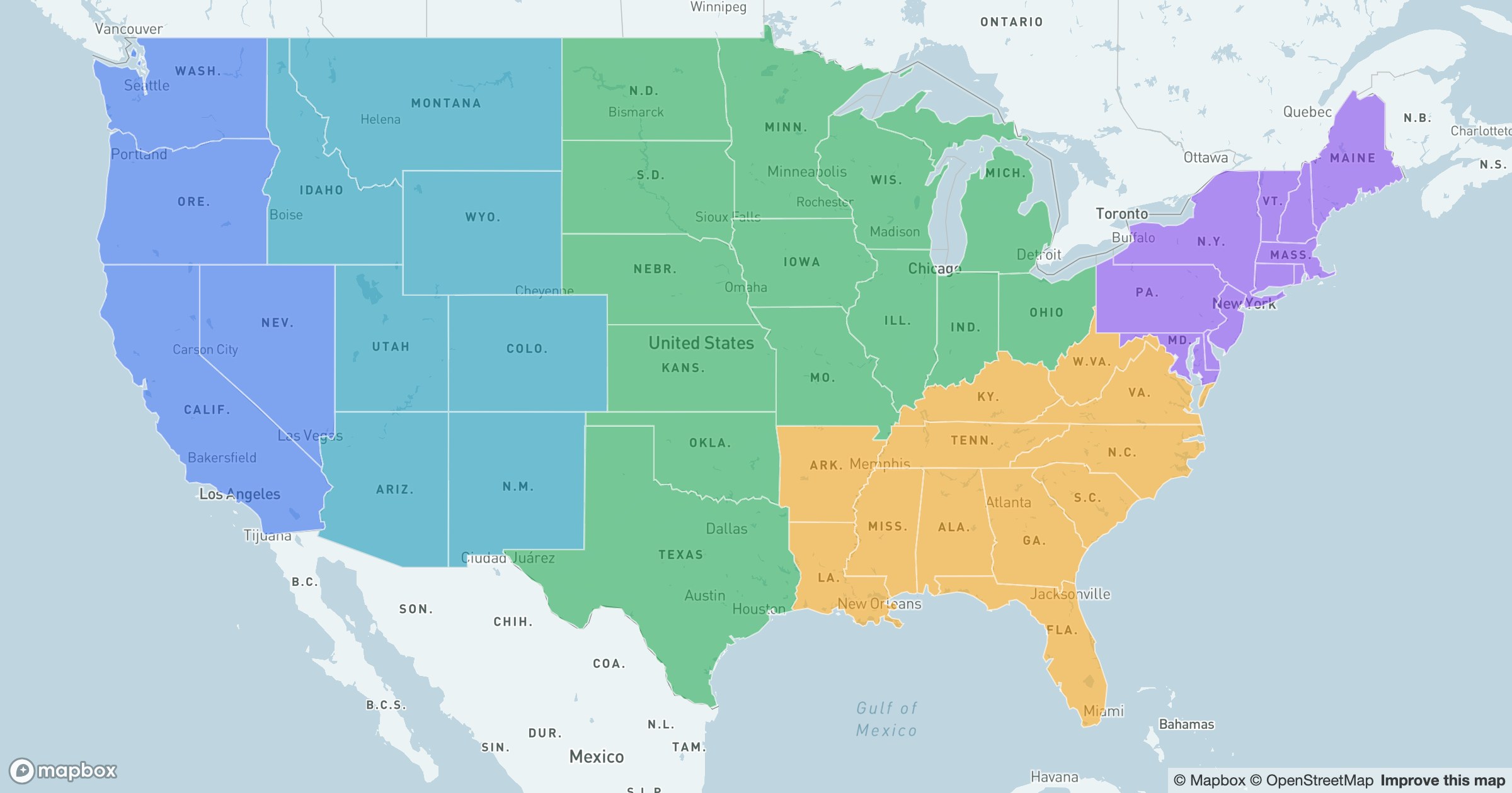
Unlike a choropleth, a territory map isn't shaded by a measurement. It's shaded by a choice: this group of regions is one team's, that group is another's. The colors are categories, and the categories are the plan.
A handful of colors, one country
GeoMaps fills each region by the territory it belongs to and keeps crisp borders between them, so the coverage map reads instantly — who owns the West, where the South hands off to the East, which areas are still unassigned or doubled up.
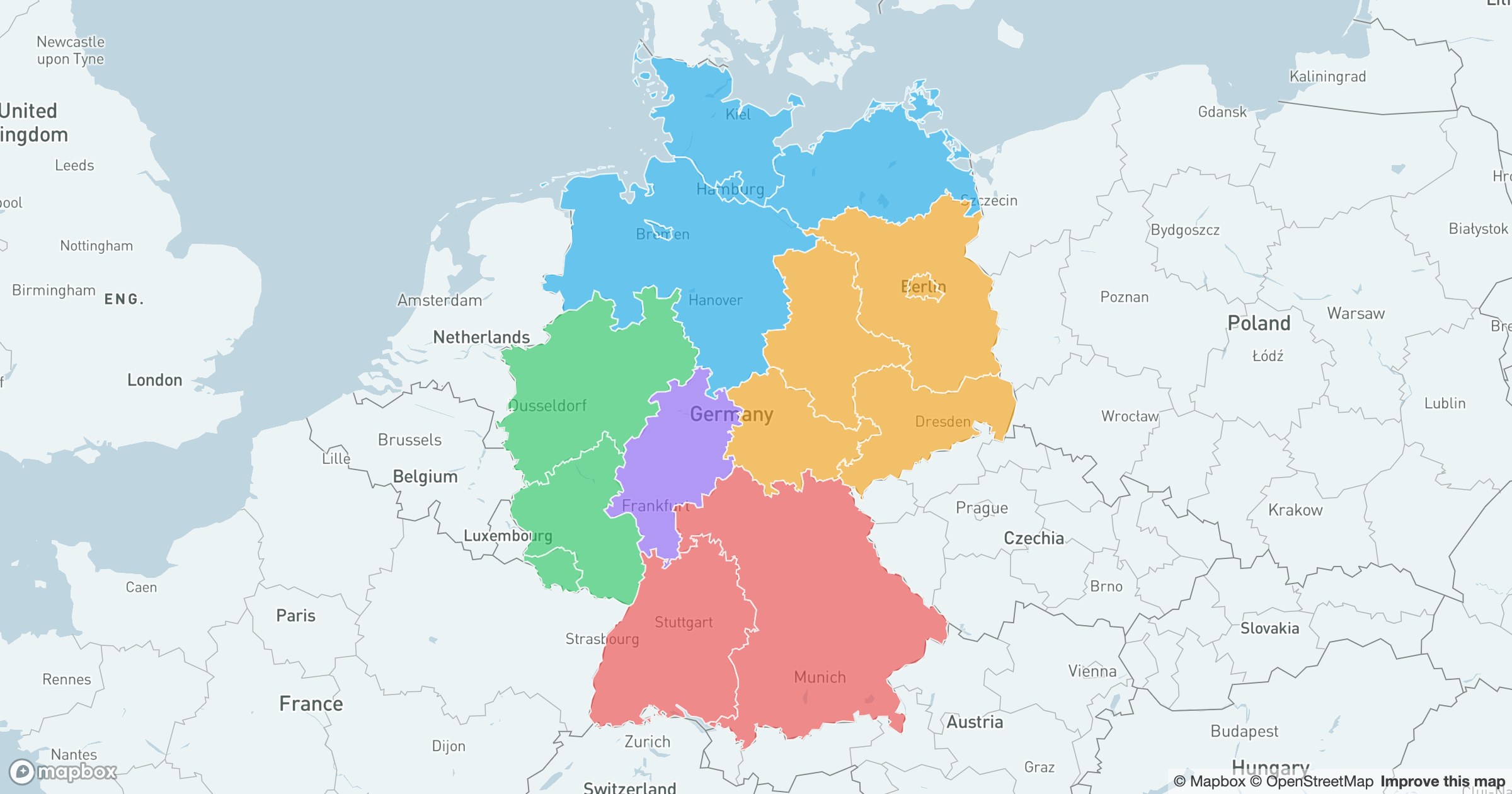
Seeing the split is the first step to balancing it. When one color sprawls across half the map and another is a single state, the imbalance is obvious — and so is the fix. The same approach works for any country's regions, not just one.
Territories live or die on fairness and clarity. Putting them on a map turns an abstract assignment into something every stakeholder can see and weigh in one picture.