
Map Clustering: Make Dense Maps Readable
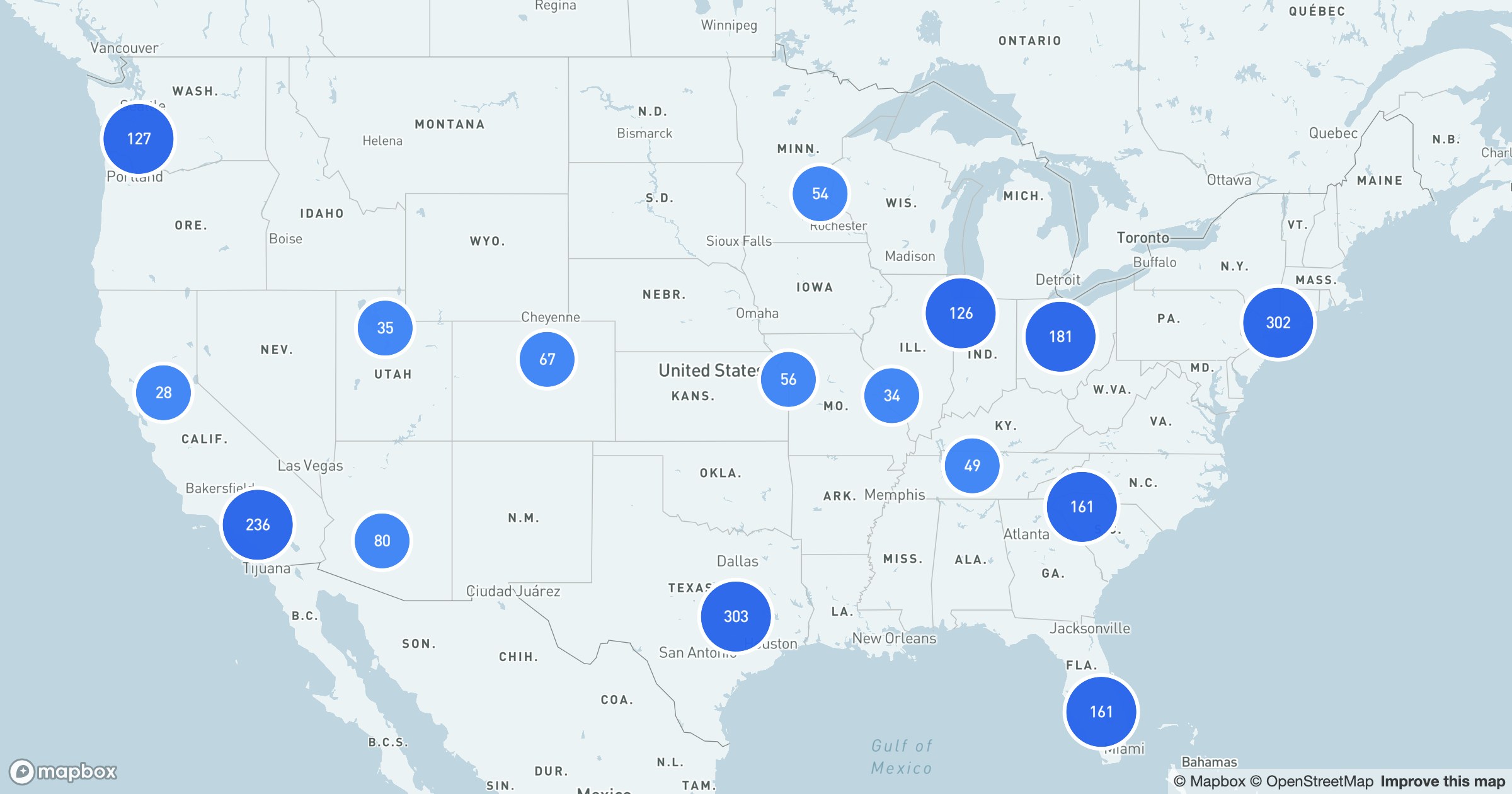
There's a point where more markers stop adding information and start subtracting it — the map turns into one unreadable smear and you can't tell ten records from ten thousand. Clustering is the fix.
Counts you can read
Instead of drawing every point, GeoMaps groups nearby records into a single bubble labeled with how many it holds. The bubbles grow and deepen in color as the count rises, so a dense region reads as one confident number rather than a thousand overlapping dots.
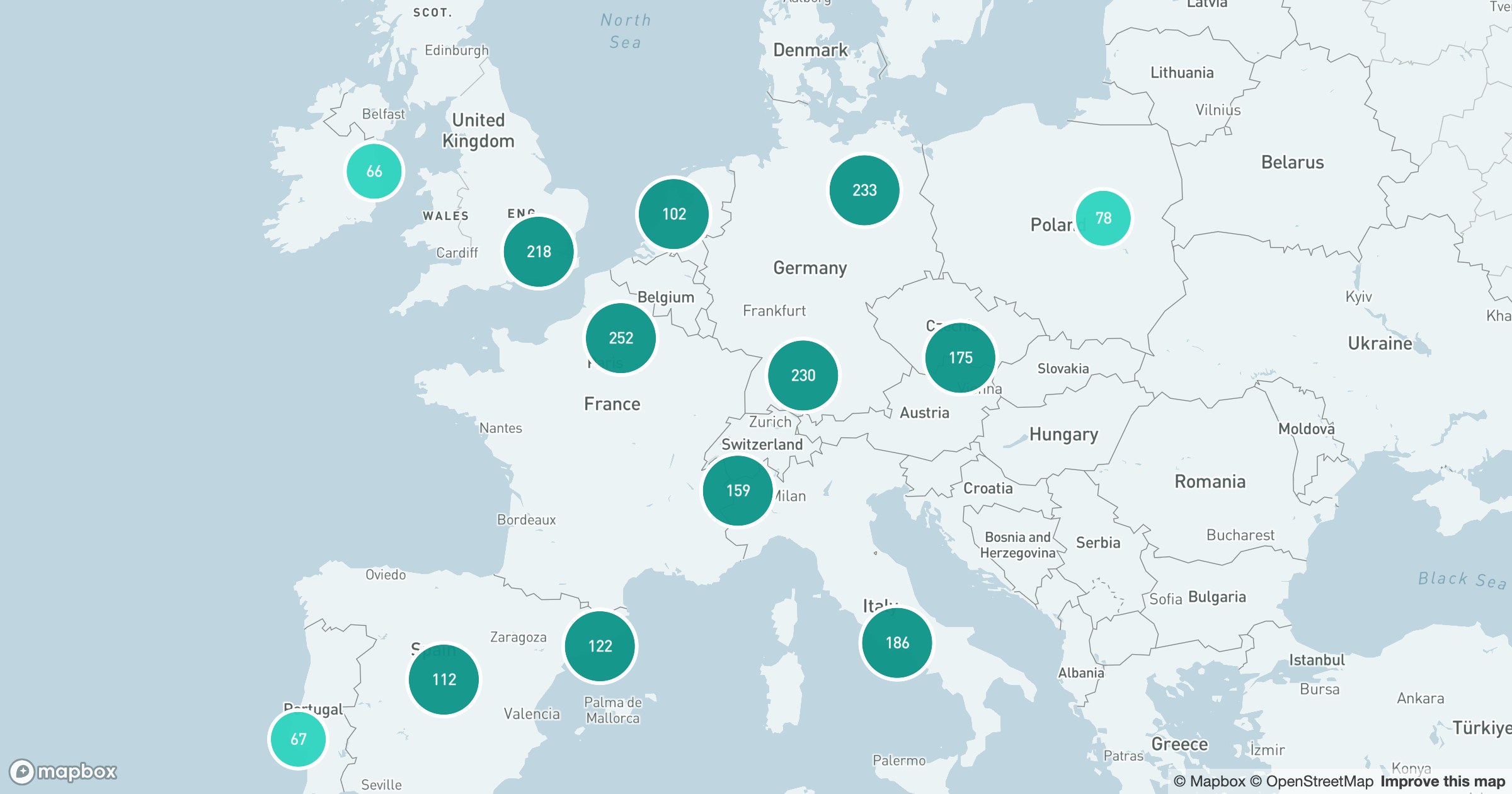
Zoom in and the clusters split — again and again — until you're down to the individual records, each with its own marker and popup. Zoom back out and they recombine. It's the same data the whole time; only the level of detail changes with how close you're looking.
That's what makes a national or even global dataset feel light: structure at the top, detail on demand, and a map that never chokes on its own volume.