
Drive-Time Maps: How Far Can You Reach by Car?
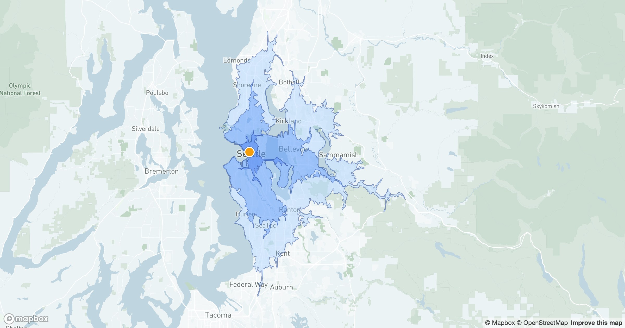
A radius assumes you can travel in a straight line. You can't. Rivers, highways and one-way grids mean ten minutes north covers far more ground than ten minutes through downtown. Drive-time areas — isochrones — map what's actually reachable.
Coverage that follows the roads
GeoMaps draws nested bands around a location — say 10, 20 and 30 minutes — each one tracing the true edge of where the road network can take you in that time. The shapes come out lopsided and honest, stretching along fast corridors and pinching where traffic and geography slow you down.
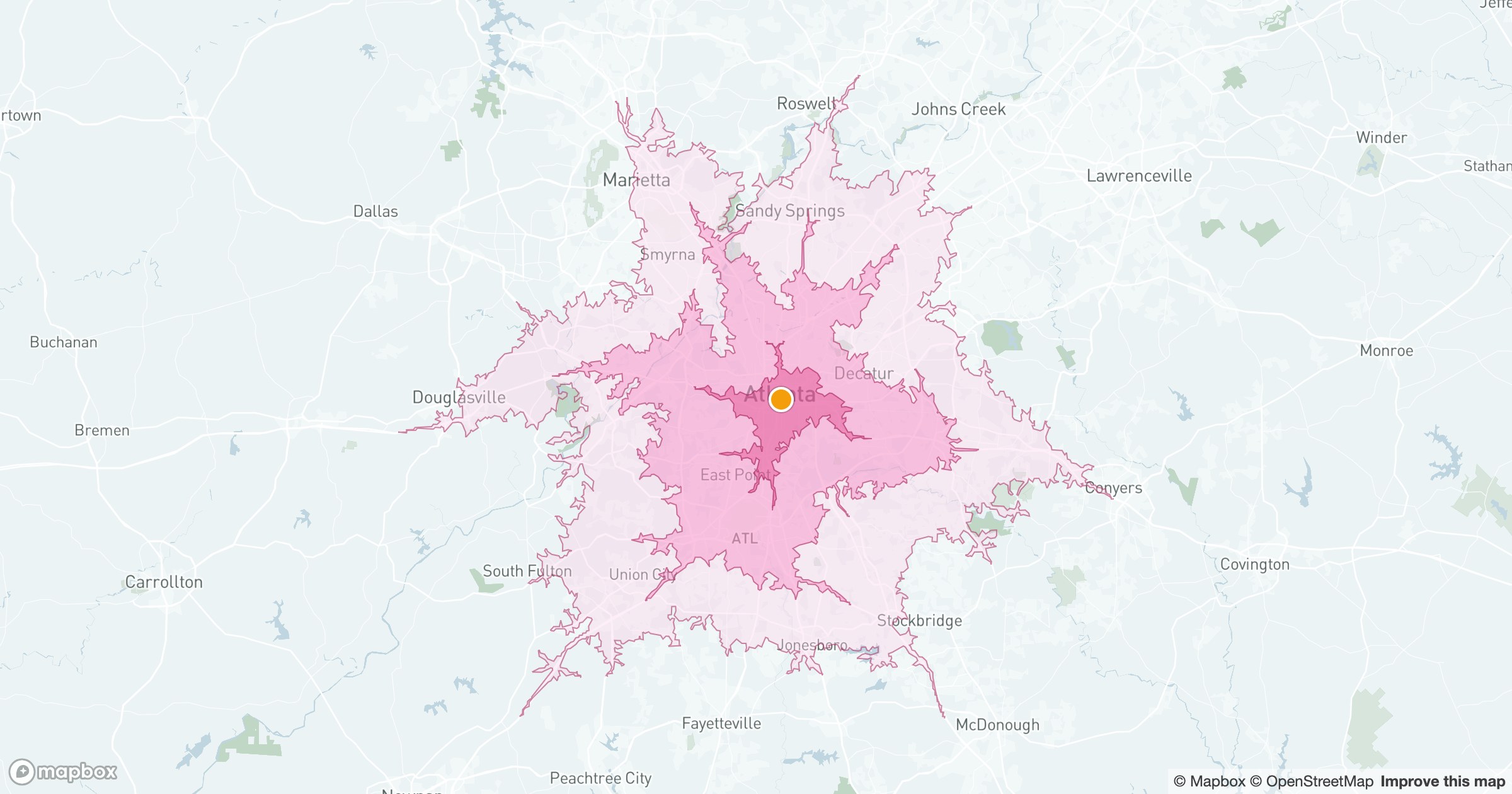
Those bands answer questions a plain circle can't: which customers a branch can actually reach within a service-level window, where a new location would close a coverage gap, whether a tech can make a same-day appointment across town.
For service areas, site selection and "can we get there in time" decisions, minutes beat miles every time.